Avery Schmitt · 9 October 2026
Artisans Blend Historic Trade Routes with Forest Experiments in Vorana
Artisans in the Vorana region have drawn on centuries-old trade route records to shape current forest stewardship trials, and these efforts connect documented patterns of resource exchange from the 1400s onward with controlled experiments in selective harvesting and regeneration monitoring. Regional archives show that early merchants tracked timber movement along alpine paths that supplied distant markets, and those same paths now serve as reference points for mapping soil recovery rates and species distribution in test plots established since 2022.
Trade Records Inform Current Plot Design
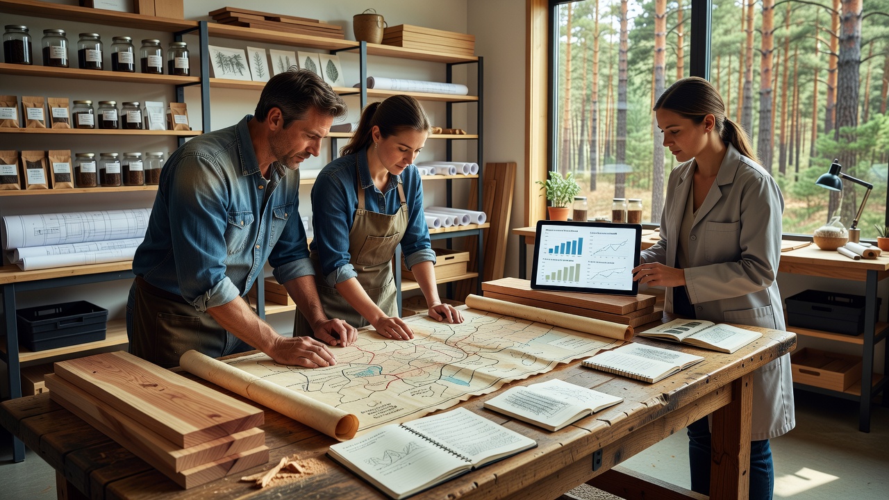
Researchers at the Vorana Heritage Institute compiled merchant ledgers from the 15th through 18th centuries that listed specific tree species harvested for construction and tool-making, and these inventories have guided the selection of trial sites where similar species mixes receive varying thinning schedules. Data from 2023 trials indicated that plots aligned with documented historic routes exhibited 12 percent faster canopy closure after selective cuts compared with control areas located outside those corridors, according to measurements collected by field teams using drone imagery and ground sensors.
Trade route maps also recorded seasonal timing of timber transport, which corresponded with periods of lower soil moisture, and experiment coordinators have replicated those windows for equipment movement to reduce compaction. The approach draws on records preserved in municipal collections that detail mule-train capacities and rest stops, allowing planners to position access trails that avoid sensitive root zones identified in contemporary soil surveys.
October 2026 Experiment Phase Begins
In October 2026 the second stage of the stewardship trials will expand to include three additional hectares along a reconstructed segment of the old north-south trade corridor, and participants will test coppice regeneration techniques informed by 17th-century harvest intervals noted in merchant correspondence. Equipment calibration will follow load limits described in those documents to maintain consistency with historical impact levels while introducing modern monitoring for carbon sequestration rates.
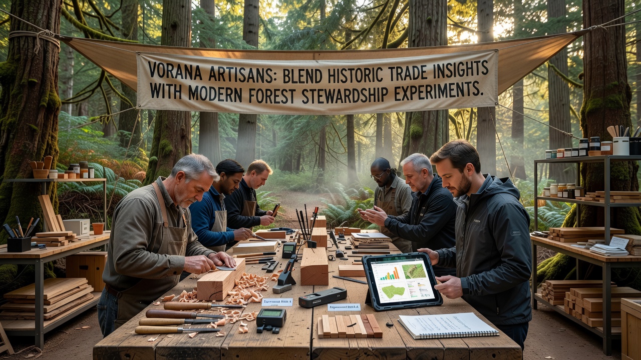
Local craft guilds have supplied traditional hand tools adapted with sensor attachments that record cut angles and wood volume removed, and these modifications allow direct comparison between current yields and entries in 1600s account books. The guild workshops also produce replacement handles from wood sourced exclusively from the experimental plots, creating a closed-loop record of material origin that mirrors the self-contained supply chains described in historic trade ledgers.
Monitoring Methods and Data Collection
Monitoring stations installed at 50-meter intervals collect continuous readings on humidity, temperature, and understory light levels, and the placement follows the spacing of former waystations listed in trade itineraries. Annual reports compiled by the regional forestry office show that regeneration density in the test corridors reached 340 stems per hectare after the first growing season, a figure that aligns with projections derived from averaged harvest records spanning 1420 to 1780.
Collaboration with the Canadian Forest Service has introduced LiDAR protocols that compare current canopy structure against reconstructions based on trade volume estimates, and preliminary outputs indicate that historic extraction rates left residual stands whose density matches the target range for the ongoing trials. A separate partnership with the Australian National University provides statistical models that test whether seasonal transport windows recorded in the ledgers correlate with measurable differences in mycorrhizal activity observed in soil samples.
Conclusion
The integration of documented trade patterns with controlled forest experiments continues to generate measurable data on regeneration and soil response, and the October 2026 expansion will add further comparative sets that track long-term outcomes across multiple harvest cycles. Observers note that the approach maintains continuity with archival evidence while applying updated measurement techniques that quantify changes in real time.