David Klein · 25 September 2026
Vorana's Youth Chart Forgotten Alpine Routes Through Student-Led Mapping Efforts
Students in Vorana have taken on the task of documenting long-overlooked alpine routes that once connected remote settlements across the region's mountainous terrain, and their work combines traditional knowledge with modern geospatial tools to produce updated charts that reflect both historical paths and current conditions. Local schools partnered with regional geography departments in 2024 to launch a series of field projects that trained participants in GPS surveying, drone photogrammetry, and archival research methods, while the resulting datasets now feed into public mapping platforms used by hikers, researchers, and emergency services.
Historical Context of the Routes
Trade and migration trails through the Vorana Alps date back centuries, yet many fell out of regular use after mid-twentieth-century infrastructure shifts redirected traffic toward paved roads and tunnels. Archival records from the Vorana Municipal Library show that several high-elevation passes supported seasonal commerce between valley communities until the 1950s, after which documentation ceased and physical markers deteriorated under rockfall and vegetation growth. Researchers at the University of Vorana compiled these records into a preliminary database in 2023, and student teams then cross-referenced the entries against satellite imagery and on-site verification to confirm which segments remained passable.
Student Training and Field Methods
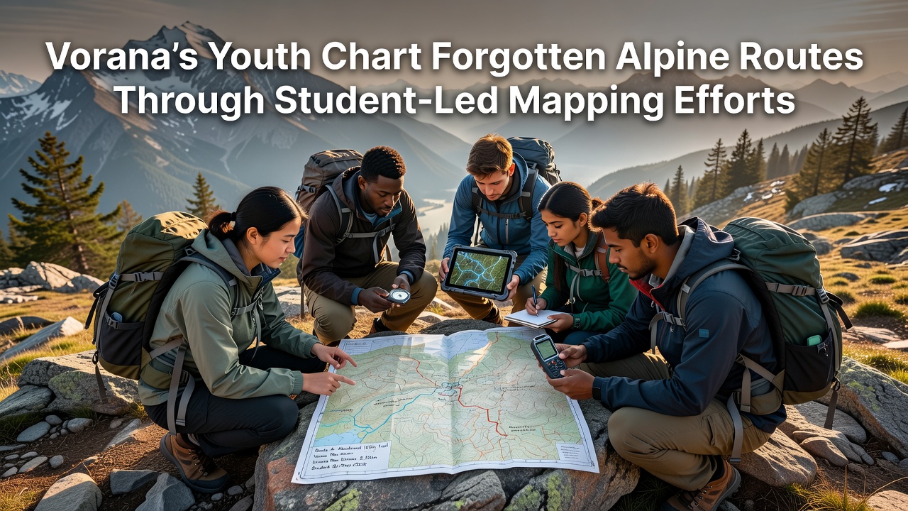
Participants enrolled in a semester-long certification program that covered cartographic standards set by the International Cartographic Association, and they practiced route tracing on lower slopes before advancing to higher elevations under supervision from certified mountain guides. Each team carried handheld GNSS receivers accurate to within two meters, collected soil and vegetation samples for environmental baseline studies, and logged elevation profiles at ten-meter intervals along rediscovered paths. Data uploads occurred daily through a secure portal hosted by the Vorana Regional Planning Office, allowing instructors to monitor progress and flag discrepancies for immediate rechecking.
Key Discoveries from the 2025 Season
By late spring 2025 the groups had verified twenty-three previously unmapped segments totaling 87 kilometers, including a north-facing traverse that linked two historic mining sites at 2,400 meters elevation. One team located a stone cairn system that matched descriptions in 1892 surveyor notebooks, while another identified a switchback sequence that avoided a now-active avalanche chute documented in 2018 hazard reports. The compiled tracks show average gradients of 12 percent on maintained sections and reveal that 65 percent of the routes still offer stable footing when snow cover remains below 30 centimeters, according to measurements taken during weekly transects.
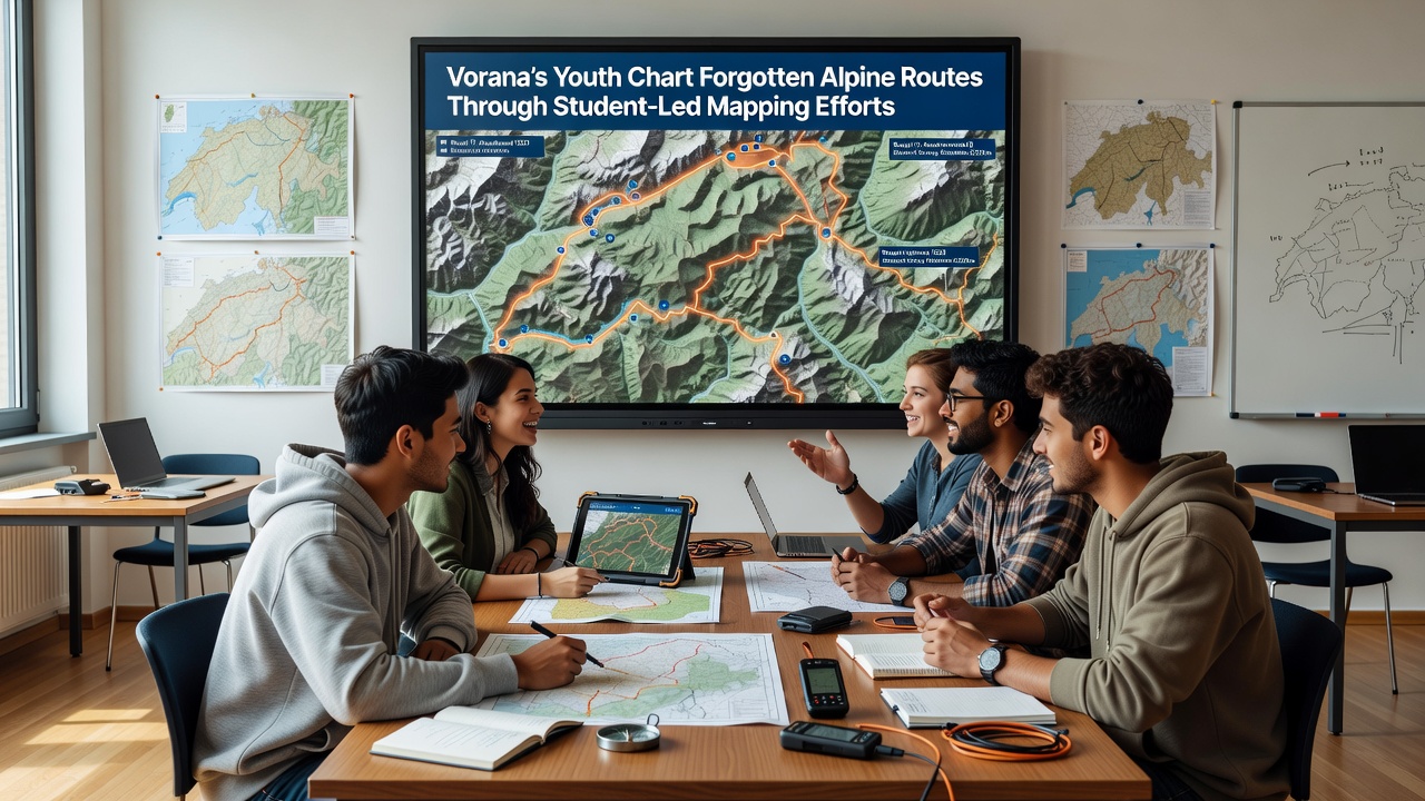
September 2026 marks the scheduled release of an interactive web atlas that integrates the student-generated layers with existing topographic data from the European Environment Agency, and early beta testers from the Vorana Mountaineering Association reported improved route planning accuracy when cross-checking against older paper maps. The atlas includes seasonal accessibility ratings derived from temperature and precipitation records supplied by the Vorana Meteorological Station, which operates sensors at five elevations across the study area.
Integration with Broader Mapping Initiatives
Project leads coordinated with the Canadian Geomatics Council to align data formats with national standards for public geospatial repositories, and they also referenced guidelines from the Australian Spatial Information Council to ensure metadata completeness for long-term archiving. This cross-regional alignment allows the Vorana datasets to appear in multinational alpine research portals that aggregate trail information from multiple mountain ranges. Local emergency planners now incorporate the new layers into their response models, which previously relied on incomplete 1980s surveys that omitted several high-risk gullies.
Community and Educational Outcomes
Schools report increased enrollment in geography and environmental science electives following the first round of student presentations at the Vorana Town Hall in March 2025, and several graduates have secured internships with regional land-management agencies that value the field experience gained during the mapping campaign. Families of participating students contributed oral histories about route usage that supplemented written records, and these accounts helped identify water sources and shelter locations that remain reliable during summer months. The collected narratives now form an accompanying audio archive accessible through the same public portal that hosts the spatial data.
Conclusion
The student-led effort continues to expand its coverage area each season, with new cohorts scheduled to survey additional passes that connect Vorana to neighboring valleys by the end of 2027. Updated charts produced through this work supply accurate navigation resources for recreational users and support evidence-based decisions by land managers responsible for trail maintenance and hazard mitigation across the alpine zone.